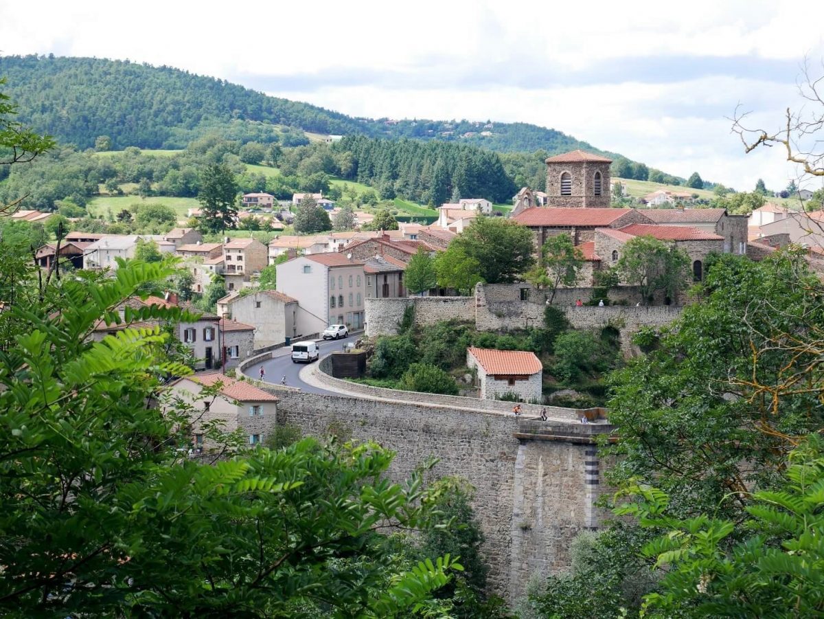
Roche Dragon is also held on the territory of Vieille-Brioude and the photo concerns this territory, the commune of Vieille Brioude next to Brioude.
From Maison du Saumon in Brioude, take the N102 towards Puy-en-Velay. Just after the "casino" supermarket, turn left into rue Champanne. Follow it to the right as far as the fountain. Continue on the road opposite towards La Bageasse.
1 - Immediately after the bridge over the Courgoux, take the road on the left. After the railway line, turn right on the track. Follow it for about 1 km then get back to the railway line.
2 - Pass under it and take the road on the left. Continue straight on to the campsite. Take the path along the Allier (view on the left over the old leper colony and the Senouire bridge) to the Vieille-Brioude holiday village.
3 - Follow the road to the right which goes up in the middle of the pavilions. At the crossroads, turn left to the Place de Vieille-Brioude. Follow the N 102 to the right for 50 m.
4 - Take the second street on the left. Go around the water reservoir to the right (view of Brioude, Livradois-Forez and Puy de Dôme). At the crossroads of tracks, continue to the right up to a road.
5 - Take the path opposite between a wall and a meadow. Leave a path on the right, then another on the left. Then veer left onto a path that climbs gently up to a crossroads of tracks. Continue opposite for 100 m.
6 - Go down two successive paths to the right. Cross the Courgoux and go up opposite on a stony path between walls. In the residential area, turn right twice. The road descends between the houses, turns 90 ° to the left, then branches off to the right to descend to the start.
UTM coordinates: 31 T 0530295 5015248