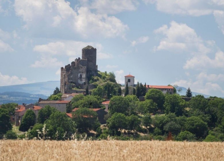
This beautiful walk takes you around the village of Léotoing and the magical ruins of its castle with, as a result, panoramas of the Alagnon, the Cézalier mountains and the castle of Torsiac.
1 - From the car park, go down the road to pass to the right of the chapel and immediately take a path to the right in the direction of the castle. The path goes under it, makes a pin and goes down. We join the road. Fork directly onto the small path on the right.
2 - Back to the road, follow it to the left and take the first path on the right to go down into the woods. Walk along the stream, cross it and continue to climb to reach the plateau.
3 - At the top, go left.
4 - Behind the hamlet of Serre, continue straight on to reach Léotoing (view of the castle).
Agricultural terraces
UTM coordinates: 31 T 0517515 5023107
-
Heritage
- Brioude, One of the loveliest small towns in France
- Trades and Art Crafts
- The Saint-Julien basilica, three stars in the Michelin green guide
- Blesle, most beautiful villages in France
- Lavaudieu, most beautiful villages in France
- Virtual tours
- Perched villages and castles
- Exhibitions – Painting in all its forms, from the 12th century to the contemporary
- The Land of Art and History
- Museums and Cultural Visits
- Nature escape
- Where to eat & sleep?
- Inspiration
- Going out/Entertainment/Children/Equipment
- Practical information / organize your stay
- Contact


