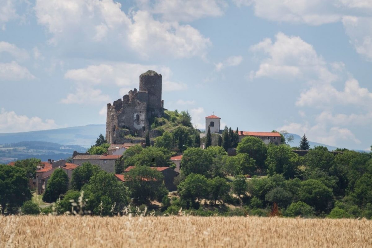
From the town hall of Saint-Ilpize, turn right into the village, pass under a porch and turn left. Follow the path up to the castle (Saint-ilpize: fortified village and perched site of the castle; view of the Allier valley, Villeneuve d'Allier, the suspension bridge and the Ribeyre terraces). At the top (church), turn left. Follow the road straight uphill. After a few meters, continue on the straight path which enters a meadow (be careful, sheep pen) and climbs up the hillside.
Climb the road to the right, then turn left on another road to Cissac.
In the hamlet (washhouse), turn right onto a path at the level of the fountain. Climb through fields to the road. Follow her to the right. Immediately after, take a path on the left which runs alongside the road.
The path joins the road (ruins); immediately take a path on the left in the meadow which descends into the oak grove towards Chazieux.
In the hamlet (oratory, calvary) go down the lane to the left at the second intersection. A few meters below, turn onto a path to the right. It leaves Chazieux and becomes a zn path descending to the edge of the Allier (massif of prickly pears).
At the fork, when the river bed widens, go up to the right. Join the road and take it to the right for 100m. At the hairpin (picnic table, conservatory of grape varieties), follow the road to the left to the castle.
UTM coordinates: 31T 0530577 5004868