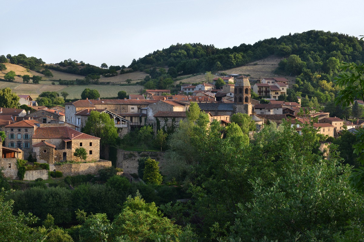
From the car park, follow the road to the right. Take the first path on the left. After an agricultural building, turn left. Cross the road and go up opposite. Turn right for a few meters (view of Lavaudieu, the Senouire valley, the ruins of Lugeac castle).
Take the first path on the left and follow it straight between woods and meadows to Billanges. Go down to the left on the small village square (premises with tarare, shoeing loom and fountain), follow the road on the left, pass the last farm and continue to the right.
Take the path opposite as far as the D 20. Cross it and follow the road towards Buze for 500 m.
Take the first path on the left, then turn right twice to go up to Buze. Leave the hamlet down the road to the left. In a wide bend in the road to the right, go straight up to the first intersection.
Turn onto the path on the left and, immediately after, climb on the one on the right. Join a wide track and follow it to the right (view of Brivadois, Fontannes, Cézalier and Forez). Pass the small summit of La Garde, continue towards a barn and, 100 m before, turn right onto a path lined with hedges. Go down a small road.
Turn left on a poorly marked path. It rises and meanders between woods and meadows. At the intersection, take a path in the undergrowth to the right (view of Lavaudieu). Join the road that descends to Lavaudieu. On the square, opposite the cloister, go down the alleys to the right as far as the bridge (viewpoint over Lavaudieu, off the circuit by crossing the bridge), then left towards the car park.
UTM coordinates: 31T 0535653 5012233